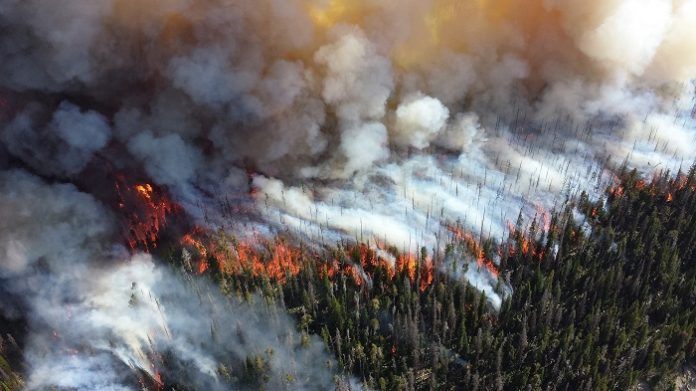
The twin technologies of unmanned aerial vehicles and wireless sensors could be the ideal combination to counter forest fires.
Networks of ground-based sensors paired with airborne drones could give firefighters a critical edge when battling wildfires, KAUST researchers have found. The sensor/unmanned aerial vehicle (UAV) network could significantly shorten the time taken to detect a wildfire, giving firefighters a better chance to contain the fire before it grows too large to control.
Wildfire detection is currently performed mainly by satellite imaging and remote cameras, but these technologies can be impeded by cloudy weather and fires can grow to a considerable size before they are spotted. With the recent significant global increase in wildfire frequency and severity, technologies that can aid wildfire management are in demand. One possibility is Internet of things (IoT) sensors, which could monitor the forest for the first signs of smoke and heat.
Deploying a massive number of low-cost IoT sensors through the forest allows for early wildfire detection at the sensor level. However, inexpensive sensors do not have the battery or computational power to communicate a fire detection event across a massive IoT network to the fire control center. To guarantee that IoT devices are low cost and have a simple structure, UAVs can be utilized. The UAVs could fly over the forest to wirelessly gather data from each sensor, returning to base to report a fire or to recharge their depleted batteries.
UAV-IoT networks are rapidly advancing, allowing for ubiquitous application at declining deployment costs. To assess the potential of the technology for wildfire detection, Al-Naffouri and his team simulated how a wildfire detection IoT/UAV network might perform.
The team showed that the more UAVs that are deployed, the faster a fire could be detected. However, surprisingly, our analysis shows that increasing IoT devices’ density beyond a threshold does not improve wildfire detection probability. Beyond a certain sensor density, the extra time UAVs had to spend gathering data in each location compromised their capability to monitor the whole forest.
We also show that, given optimal UAVs and IoT device densities, the wildfire can be detected in a much shorter time when compared with satellite imaging. However, UAV-IoT networks could only cover relatively small areas of forest compared to satellite imaging. UAV-IoT networks will be complementary to satellite imaging. The UAV-IoT network would be particularly suitable for wildfire detection in high-risk regions, such as near human settlements and national parks.


